Photogrammetry

What is photogrammetry?
Photogrammetry is one of the surveying methods used in remote sensing of the Earth. This field primarily deals with the processing and interpretation of photographic images, where 2D images of reality can be utilised for 3D modeling. We employ various forms of photogrammetry, including aerial photogrammetry, single-frame and multi-frame photogrammetry, intersection photogrammetry, and stereophotogrammetry.
What is the use of photogrammetry?
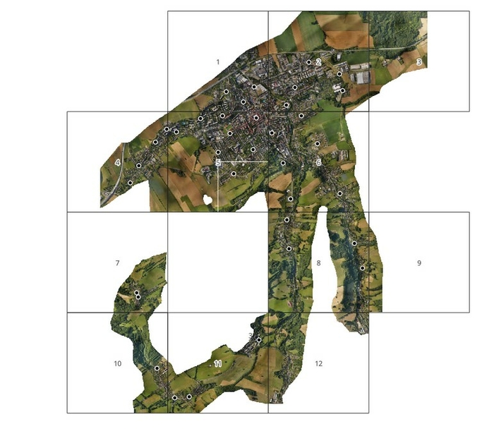
- When creating orthophotomosaics: This is typically done for mapping, documentation, and landscape interpretation of cities, towns and other areas.
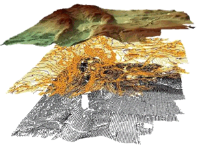
- During shape and dimension reconstruction (3D modeling): This is useful, for example, in heritage preservation, architecture, hydrology and other fields.
- For volume calculations: This involves determining volumes in quarries, industrial areas and similar contexts.
- When creating photoplans: For instance, this is relevant when surveying historical architectural landmarks.

Are you interested in photogrammetry? Contact us via email: mdpgeo@mdpgeo.cz

